Our Services
Legal & Cadastral Surveying Services
From establishing a legal boundary to confirming a building's exact location, Aki Geomatics handles the surveying work that stands behind land ownership, development, and infrastructure decisions across Ontario, Northern Ontario, and Canada-wide.
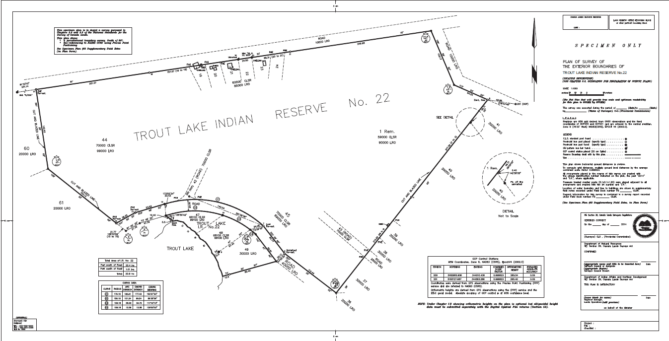
Cadastral Survey & Boundary Retracement
Our core practice is cadastral surveying — the legal determination of property boundaries under the Surveys Act and Canada Lands Surveyors Act. We retrace original survey monuments, resolve boundary disputes, and produce the legal documentation you need before you build, sever, or sell.
Who It's For
Landowners, real estate developers, First Nations administrations, and legal counsel who need a defensible, legally recognized boundary.
Request a Quote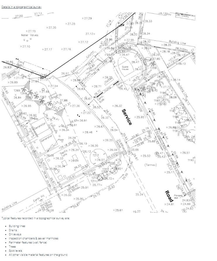
Topographic Survey
We capture existing ground conditions — elevations, drainage, vegetation, structures, and utilities — using modern GPS and drone-assisted data collection, delivered in the format your engineers and architects need.
Who It's For
Engineering firms, contractors, and developers planning site design, grading, or infrastructure work.
Request a Quote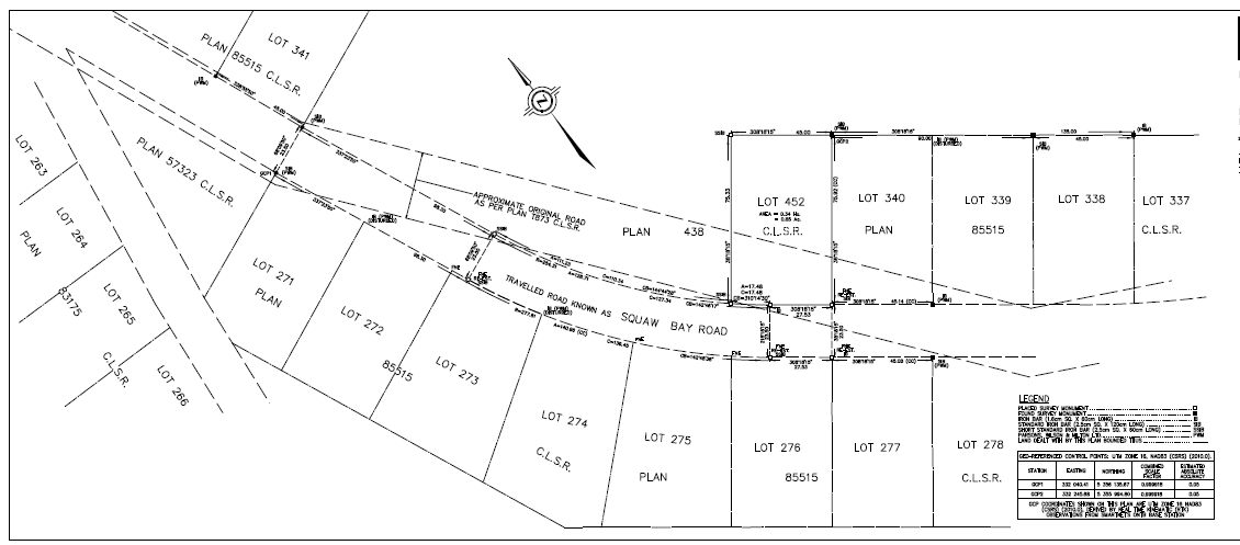
Subdivision Design
From concept through registration, we support subdivision and consent applications with survey data, draft plans, and coordination with municipal and provincial approval authorities.
Who It's For
Real estate developers and general contracting businesses bringing new lots to market.
Request a Quote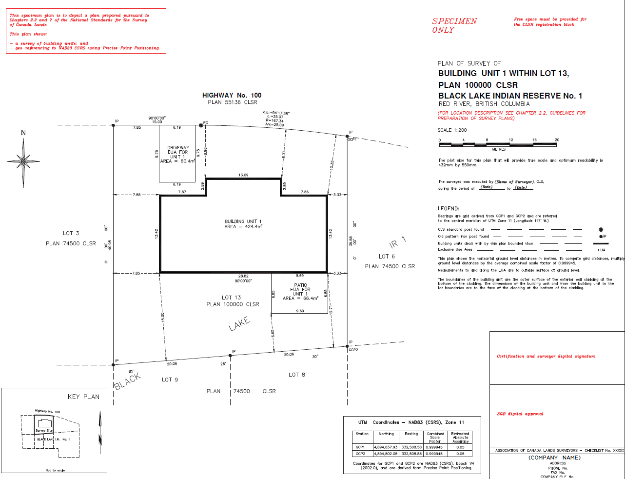
Building Location Survey
We survey and plot the exact location of existing or proposed buildings, additions, and structures relative to property boundaries and setback requirements — the plan municipalities, lenders, and building departments ask for before approving a permit, mortgage, or renovation.
Who It's For
Homeowners, contractors, and developers who need to confirm setback compliance before a permit, addition, or building unit registration.
Request a Quote
Get a Survey Quote Within Days, Not Weeks
Tell us about your property or project and we'll follow up with next steps — no obligation.